Rybno - Świdnica

Distance 7.5 km
Duration 0:40 h
Difficulty very hard
The starting point of the route is the forest behind the fuel station in Rybno at the road no. 282 towards Wilkanowo. The entire trail runs through the forests and ends in Świdnica in Wiśniowe Wzgórze street. The route is rather difficult due to steep ascents and descents, but the scenery more than makes up for it. Bird songs will accompany you as you ride towards Wilkanowo Hill (Góra Wilkanowska) at any time of day. The hill is the highest point of the Zielona Góra Embankment (221 m above mean sea level). Atop the hill, you can see a 20 m high red brick viewing tower, currently known as Wilkanów Tower. Before World War II, it was officially called Bismarck Tower.    
distance (km) altitude m a.s.l.

Trip objects

Region

Zielona Góra Embankment and Kargowa Basin

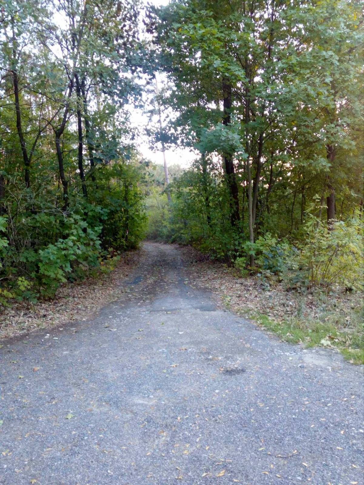
About the region The communes within the Local Action Group operating between the Oder and the...